The elusive Nug Nug Falls: did we find it?
Search for Nug Nug Falls on Google and you won’t get much. Google AI thinks you’re “misremembering” and you actually mean Ladies Bath Falls (you don’t). The crowd-sourced and data-scraping hiking/mapping websites Mapcarta and MyPacer include reference to it, but there’s no information other than a mostly-blank map. The results in Google Images show other waterfalls and mislabel the photos.
But my outdoorsy tool of choice GaiaGPS has Nug Nug Falls marked along with an access track to reach it…
…and the Visit Mount Buffalo website mentions it on its Waterfalls page, saying “for hikers the hidden Nug Nug falls can be accessed by walking up tracks behind the camping ground on the Buffalo River valley”, which matches up with the GaiaGPS map.
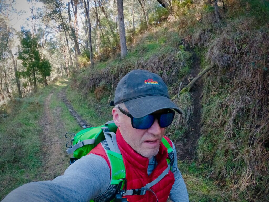
That was enough for me. It was time for my son James and I to try and reach it.
Sidenote: the last hidden waterfall I hiked to with James was a fun trip. We set out in mid-summer for the unnamed waterfall on High Plains Creek, around 2km south of Cope West Aqueduct Road near Falls Creek, hoping to swim in the pool at its base. We made it, and I had a memorable but VERY cold 10 second swim in the coldest water I’ve ever experienced. The other lasting memory of that hike was the tramp through a couple of kilometres of very snake-y alpine grasslands, where I was expecting more of a footpad than we found. Little did we know that this hike would end up being very similar.
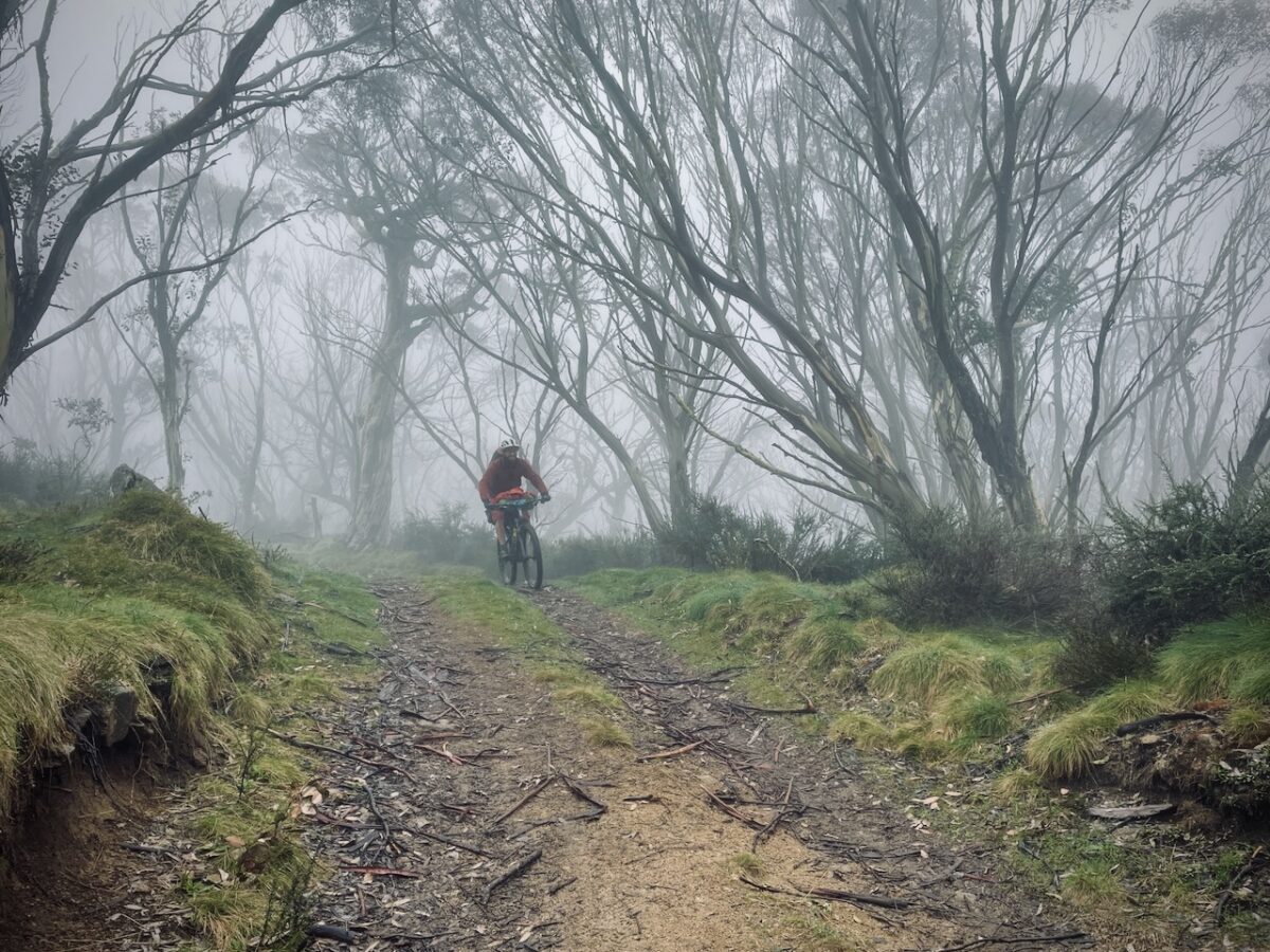
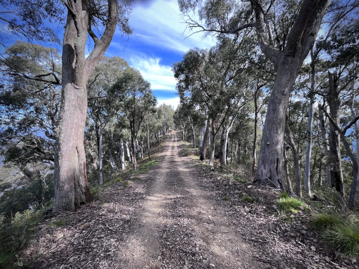
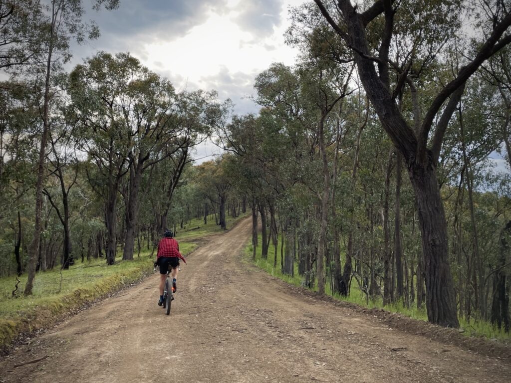
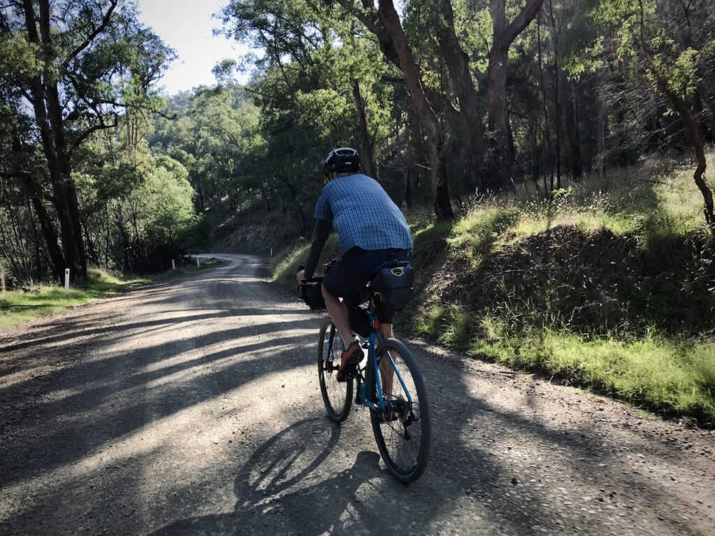
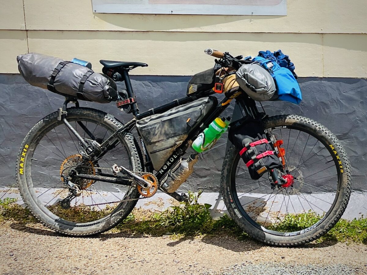
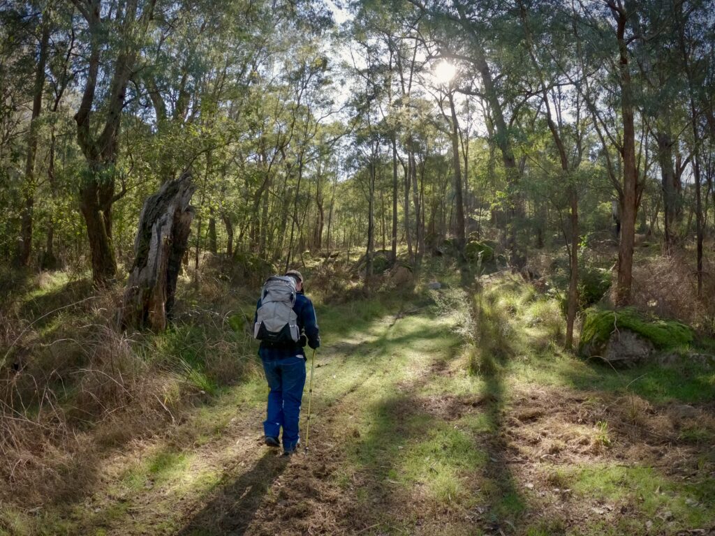
Starting our hike from the Nug Nug Campground Reserve just off the Buffalo River Road, we had just over 7km of rollercoaster track between us and the falls, making for a 14km return trip. The track itself was double-track fire road, only just wide enough for a 4WD. If you’re ok with some hike-a-bike you could ride it on a mountain bike. An e-MTB would be better. Or a horse.
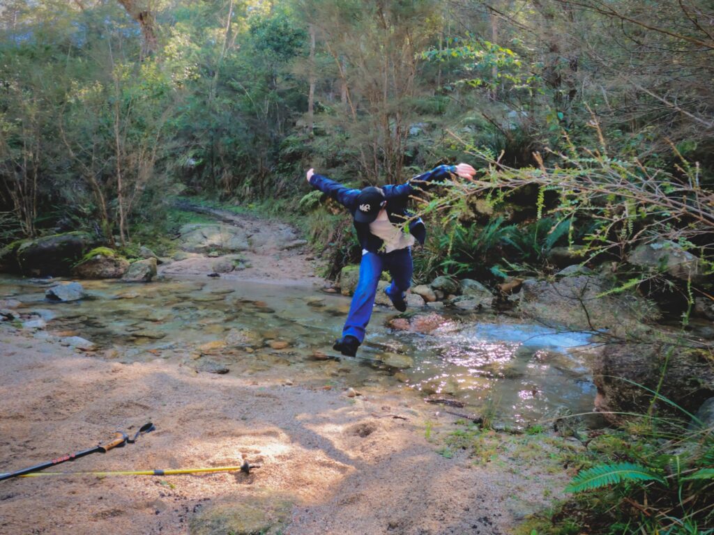
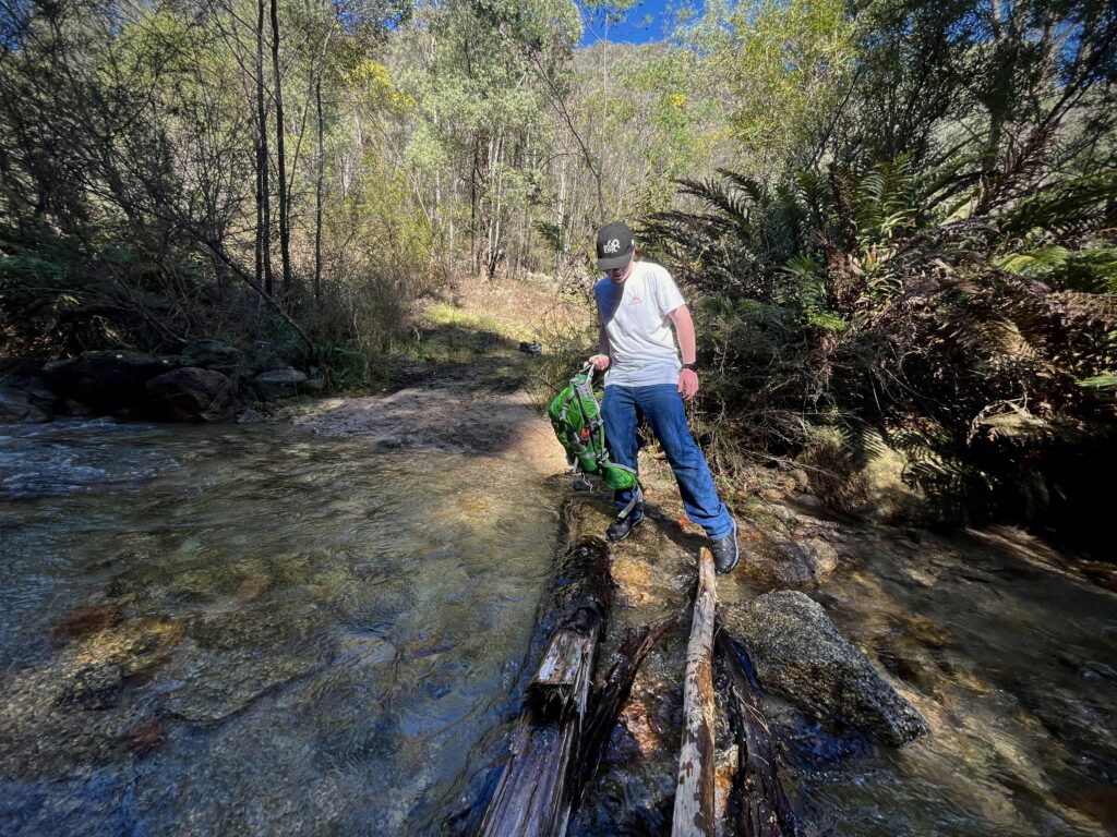
We meandered through the bush, generally following contour lines between 350-400m ASL but occasionally heading steeply up or down. We came across a couple of tiny creek crossings and one deeper crossing at Nug Nug Wa creek that we jumped on the way out and had fun building a little bridge over on the way back.
Something we didn’t consider before we set out was the presence of wild dogs. You don’t generally think of dingoes when you’re hiking so close to civilisation and thankfully we didn’t encounter any, yet the signs were there. Fresh scats on the trail, warning signs about traps and baits, plenty of likely dens and even a fresh hind leg right in the middle of the trail from either a pig, boar or calf—it was hard to tell. While we were walking and talking we decided we could probably defeat one between us (maybe?), but come across two or three hungry buggers and we would have been in a bit of trouble.
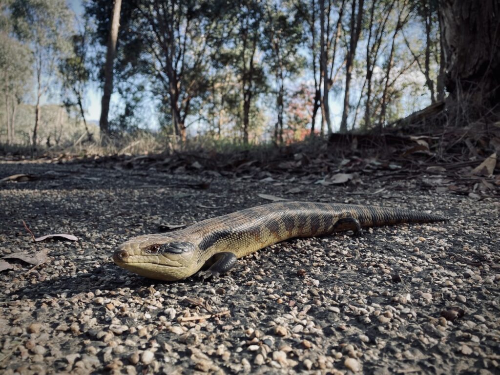
Those tell-tale signs and the ubiquitous wombat droppings were the only signs of wildlife that we saw on the whole hike. This surprised us, given how relatively remote we were. Maybe the dogs have taken out all the other wildlife.
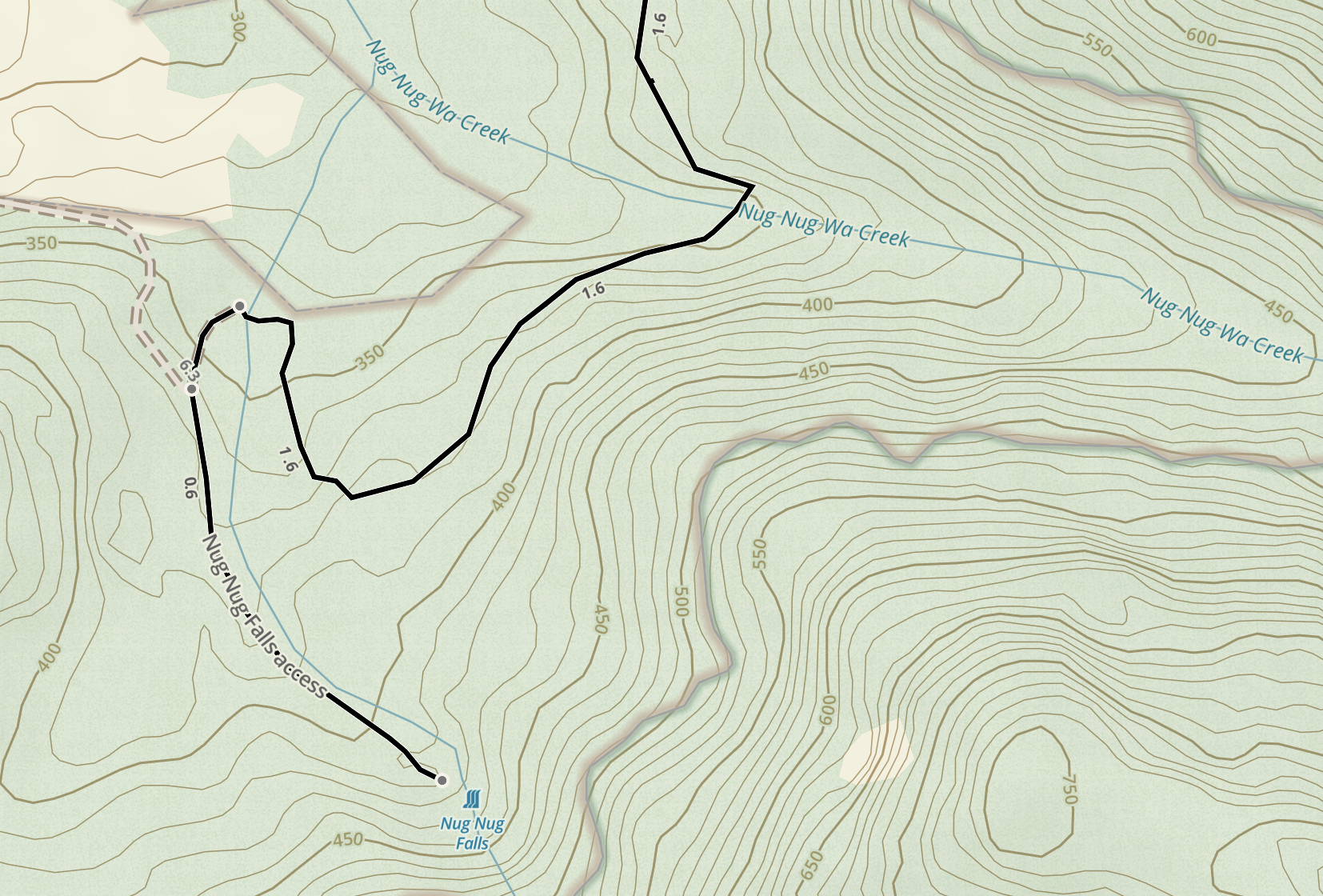
Back to the falls. We reached the access track just under two hours after we set out, turned left and started heading up. We had around 50m of elevation gain to cover over 600m to reach the falls, but after less than 100m the trail veered off to the right and started to head away from the mapped route, which clearly showed that we should be tracking parallel to the creek. There were vague tracks leading into the bush that matched the direction of the mapped trail and followed the creek, or we could stay on the obvious track, even though it didn’t feel right.
We had a decision to make, so after reasoning that (a) the access track would hardly see any foot traffic and therefore be overgrown, which it was, (b) we could easily be the first hikers here since autumn which would also cause the track to appear overgrown, and (c) the other track looked like a horse-riding route and was pointing away from the falls anyway, we trusted the map and took the bush-bash option.
Soon the track disappeared completely, leaving us to navigate aurally using the sound of the creek. However, we hit the proverbial wall (of scrub) after around 200m, still potentially 400m away from the falls according to GPS. Maybe the map was wrong? Should we have taken that other track? We didn’t know.
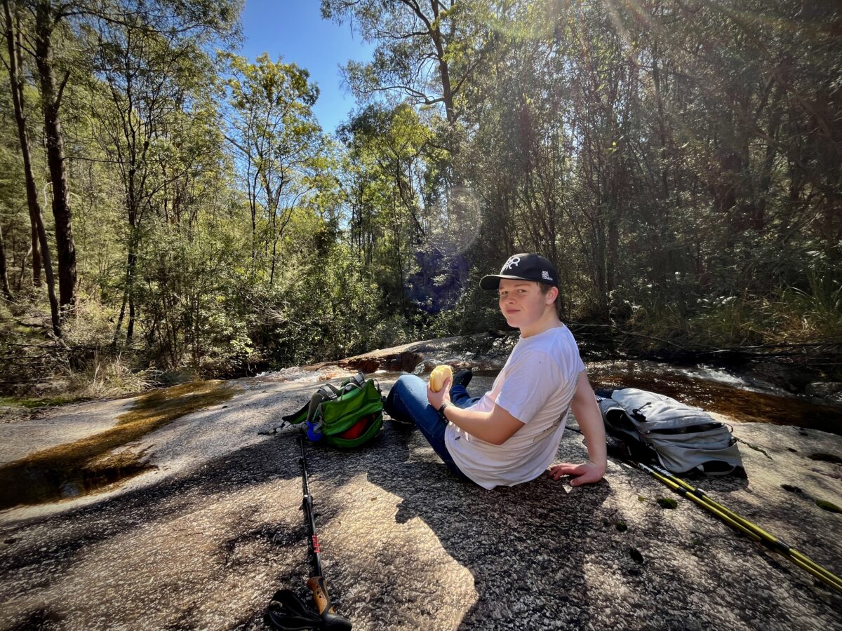
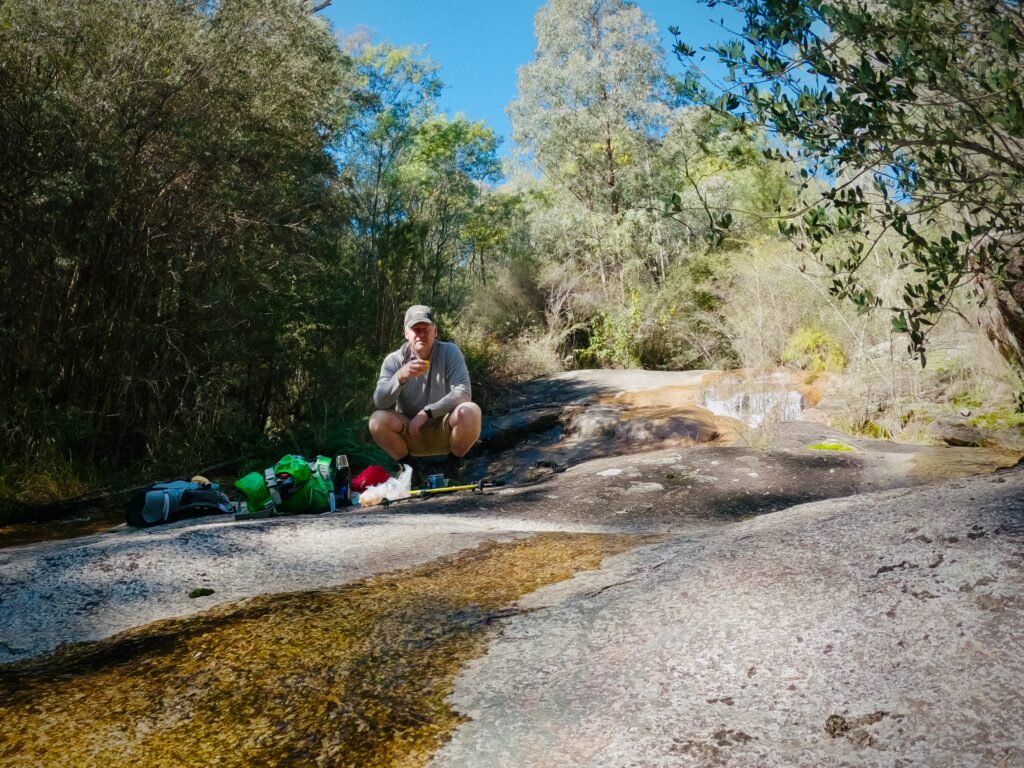
As we continued on, the sound of the creek grew stronger and we spotted a lovely lunch spot on the granite with a small waterfall. We managed to scramble down to it. Was this Nug Nug Falls?
Even if it wasn’t the falls, it was pretty clear that for us it was going to be :-). We didn’t feel like pushing on through the increasingly thick scrub so we sat down and enjoyed our packed lunch. I made myself a #coffeeoutside with my nifty little Wacaco Nanopresso while James scrambled around trying to find a good vantage point for a photo of the waterfall.
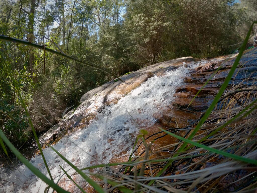
So had we found it? Looking at my Garmin GPS tracking, no we hadn’t—on the map the access track clearly continues past our lunch spot and the satellite view shows a much larger clearing than the one we stopped at. Bugger.
Maybe we should have pushed on through the bush but it was hard going. There was no sign of a track left or right despite GPS showing that we were right on top of it. The tracking shows us nowhere near the supposed trail for around 20% of the entire hike anyway, so the takeaway here was that remote tracks and trails aren’t always where maps say they are. Hands up if you already knew that.
Will we go back and try again? Possibly. If I’m being honest the hike itself was not one I’d suggest to others when there are so many other incredible hikes in the region. Being in the native bushland was great as always but apart from the fun creek crossing the track was monotonous.
That said, the knowledge that the falls is there just another 300m through the bush might entice us back someday!