The Alpine Pints and Pizzas 400
Alpine Pints and Pizzas is a 4-5 day, 400km bikepacking route through Victoria’s alpine region, where most days of riding can end with pizza and a pint at a craft brewery.
Loosely based on the original High Country Breweries 500 that I first plotted and rode back in 2019, the Pints and Pizzas route omits the HCB500’s less interesting sections, has a new train-friendly start and finish, and focuses on connecting the region’s towns and villages (and craft breweries) via some of the best gravel riding, high country tracks and cruisy rail trails in Australia. All killer, no filler!
Route highlights include waterfalls, other breweries and distilleries, gorgeous swimming holes, berry farms, incredible mountain and valley views, plenty of shaded forest riding and lots of camping options. The towns and villages are well-spaced for resupply, but plan your water carefully – especially if the days are hot. The ability to carry 3lt of water is recommended, and pack purifying tablets or drops in case you need to fill up from a mountain creek.
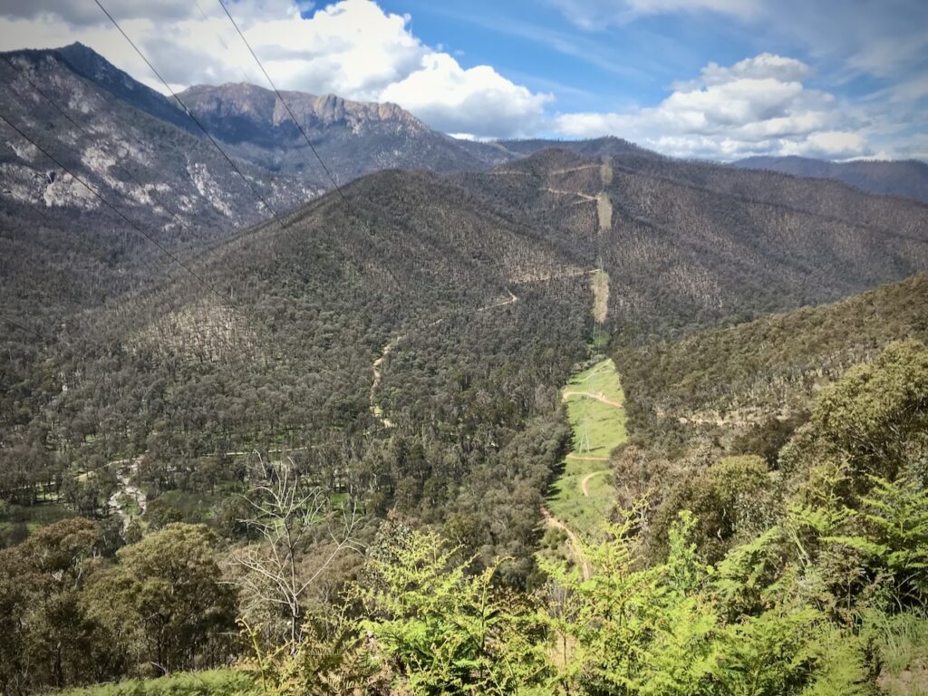
Goldie Spur Track, with Mt Buffalo on the left
The start and finish points of Benalla and Chiltern are on the main Melbourne – Albury – Sydney train line, with 2-3 trains stopping daily at Benalla and Chiltern stations. Check the V-Line timetable for times and other information.
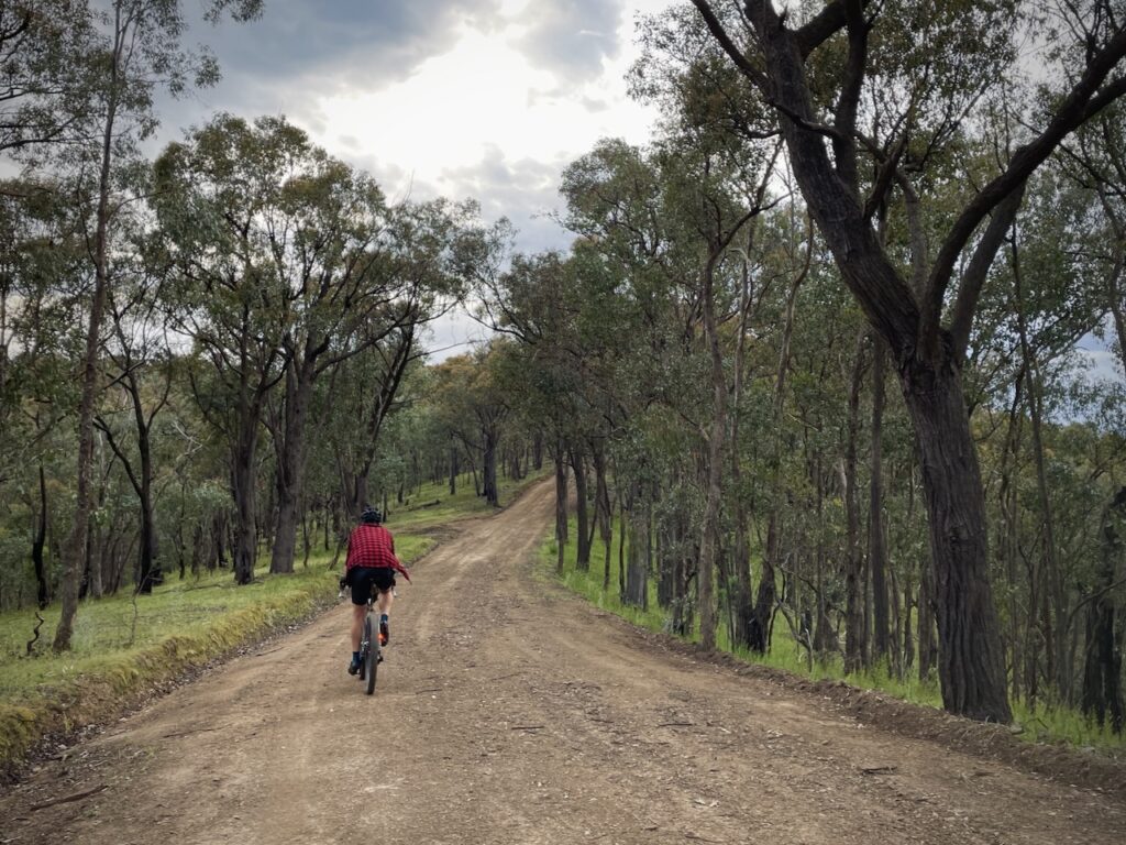
As is the case with most offroad bikepacking routes, you’ll encounter a wide range of road conditions: tarmac, part-sealed rail trails, fast gravel, rough and steep logging roads, and muddy forest lanes and farm tracks. There’s even 7km of smooth singletrack on the Indigo Epic MTB Trail and naturally there’s some hike a bike.
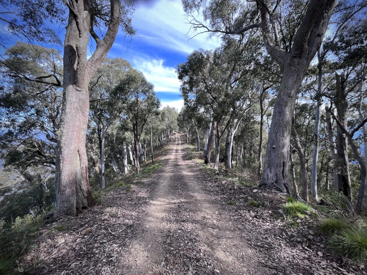
Flagstaff Road, between Myrtleford and Stanley
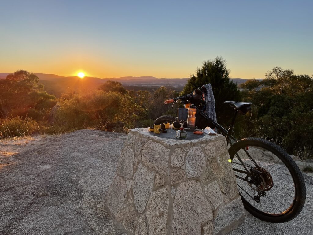
Mt Pilot summit at sunrise
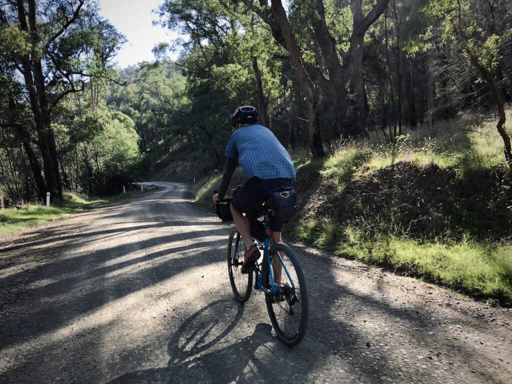
Rose River Road, near Whitfield
The entire route has been designed so that it is rideable on a loaded gravel bike with 40mm+ tyres, but for some an MTB is a better choice. There are a couple of river crossings that may be difficult or impossible after heavy rain or in winter and early spring.
The route has been fully tested and is ready to be enjoyed. I’m the guardian of the route and I keep the RWGPS route up to date, but please do your own research before you ride. You might encounter stray farm animals, dangerous wildlife, unexpectedly closed roads, deep mud or other weirdness. You’re bikepacking in the Australian bush, and if you choose to ride this route it’s completely at your own risk.
Be self-sufficient, leave no trace, pack a PLB or InReach (there is zero mobile phone service for 75% of the route), ride safely, and I look forward to seeing you out there in my backyard!